0

Mission update (17 November) - The Return of the Polygons

NASA Science Curiosity Blog, Sols 5072-5076: The Return of the Polygons - NASA Science science.nasa.gov
preview

Excerpt:

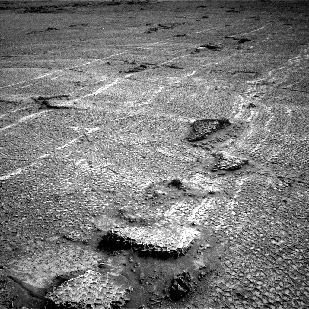
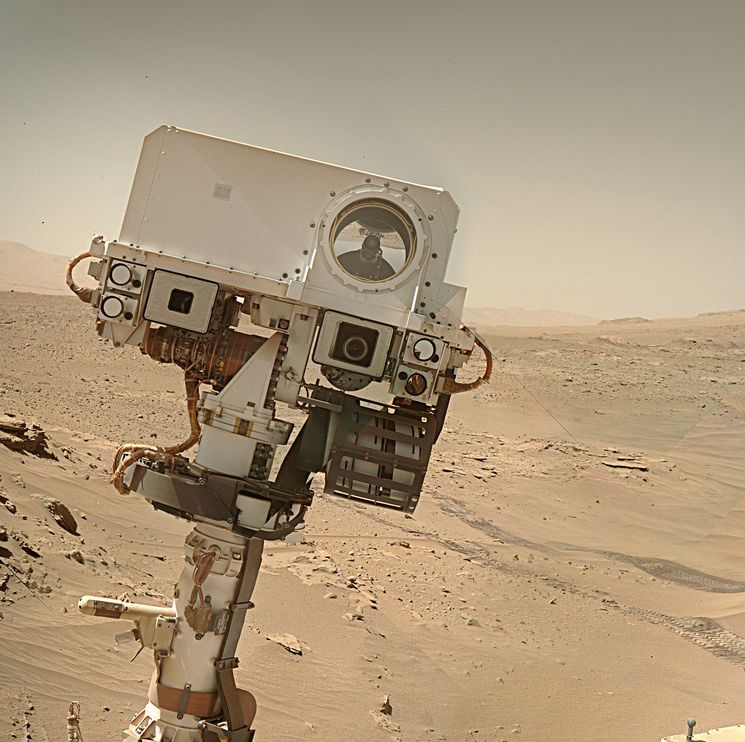
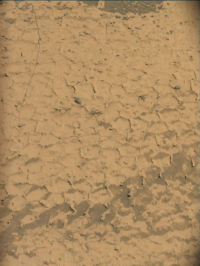
The two areas we explored this week had rocks that were crisscrossed by lots of small, regular sized polygons surrounded by raised ridges. This texture was very similar to the rocks we encountered a few months ago slightly lower on the mountain. Those unique textures really surprised us when we first saw them, and we’ve been spending time as a science team discussing how they may have formed.

Excerpt:

The two areas we explored this week had rocks that were crisscrossed by lots of small, regular sized polygons surrounded by raised ridges. This texture was very similar to the rocks we encountered a few months ago slightly lower on the mountain. Those unique textures really surprised us when we first saw them, and we’ve been spending time as a science team discussing how they may have formed.
0

Sol 5058: Front Hazard Avoidance Camera

preview

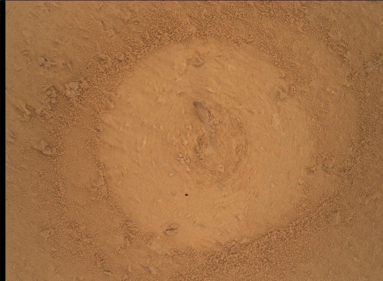
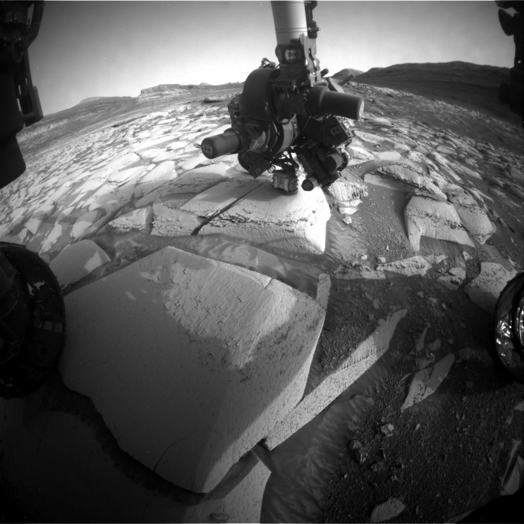
If you look closely you can see the tailings of the most recent drilled hole in Gale crater. As I write this a small sample of powdered rock is being tested inside the rover

If you look closely you can see the tailings of the most recent drilled hole in Gale crater. As I write this a small sample of powdered rock is being tested inside the rover

0

Curiosity Rover Catches Stunning Martian Dawn

preview

The captivating shapes of wind-carved crags called yardangs are revealed in this zoomed-in crop of a broader panorama captured by NASA’s Curiosity Mars rover on Aug. 11, 2026. Scientists are eager to learn more about how the yardang layer formed. Credit: NASA/JPL-Caltech/MSSS

The full press release is on this link

jpl.nasa.gov/…/nasas-curiosity-rover-catches-stun…

The captivating shapes of wind-carved crags called yardangs are revealed in this zoomed-in crop of a broader panorama captured by NASA’s Curiosity Mars rover on Aug. 11, 2026. Scientists are eager to learn more about how the yardang layer formed. Credit: NASA/JPL-Caltech/MSSS

The full press release is on this link

jpl.nasa.gov/…/nasas-curiosity-rover-catches-stun…

0

Curiosity Blog, Sols 5022-5028: Cashing in at Cache Creek

NASA Science Curiosity Blog, Sols 5022-5028: Cashing in at Cache Creek - NASA Science science.nasa.gov
preview

Written by Lucy Thompson, Senior Research Scientist, University of New Brunswick, Canada

Earth planning date: Friday, Sept. 25, 2026

Before we landed, the area of Gale crater that we planned to explore was divided up into rectangular parcels with designated names. The names were chosen after small towns associated with significant geological features. Our selected targets (mesas, bedrock, soil, boulders, etc.) within those quads were then given unofficial names based on the theme of the quad. See the link here for more details on naming conventions on Mars. Curiosity has long since climbed above the quads that were selected before landing, and before her 14-year, 38-kilometer (24.6-mile) trek, which included more than 1 kilometer (0.6 miles) of elevation gain.

We recently entered the new Cache Creek quad, named after an area of geological diversity in British Columbia, Canada. The area in Canada includes exposures of oceanic crust, marine sediments, volcanic rocks, and glacial deposits, as well as being home to lakes with unusual chemistry that may be analogous to lakes that once existed on Mars. It also lies at the southern end of the 1860s Gold Rush Trail, where miners and prospectors flocked to this part of British Columbia in search of riches. This week we successfully drilled into our 48th rock target in Gale crater (“Basque Lakes”), from the Cache Creek quad. While we may not literally strike gold, we are all eagerly anticipating the outcome of the CheMin X-ray diffraction analysis of our drilled sample that will take place in this weekend plan. What gold mine of minerals will the sample contain? What can they tell us about the depositional and alteration history of this rock exposure — might there be similar minerals present as those associated with some of the lakes in the Cache Creek area of British Columbia?

As an APXS uplink lead and strategic planner this week I helped to plan the triage contact science on the potential Basque Lakes drill target and communicate the results to the rest of the team. We placed APXS in contact with the rock target to measure its chemistry, and the MAHLI camera to within 1 centimeter (about 0.4 inches) to examine in detail the textures. ChemCam also fired its laser at the Basque Lakes drill target to further characterize composition. MAHLI also imaged the target after the engineers checked the stability of the rock with a pre-load test. The results from all these activities helped to determine whether to proceed with drilling.

Despite significant power constraints associated with drilling and the accompanying analyses, as well as an aging rover, we were also able to plan additional activities. Mastcam imaged the surrounding terrain to provide context for our new drill sample. ChemCam was able to analyze the chemistry of another nearby bedrock target, “Peace River,” and use its imaging and passive spectroscopic capabilities to look at the new drill hole and surrounding tailings. ChemCam remote imaging was also used to examine an interesting-looking deposit of jumbled blocks at the base of a nearby butte, “Cordillera.”

We also utilized Navcam and Mastcam imaging in the continued monitoring of environmental and atmospheric conditions in Gale crater.

Analysis of the Basque Lakes drill sample should continue next week with delivery of material to SAM, which will reveal more nuggets of information regarding the history of this particular rock sample. Curiosity will likely be at this location for another week, before we dump the sample and drive away to continue our exploration of Mount Sharp and Gale crater.

Written by Lucy Thompson, Senior Research Scientist, University of New Brunswick, Canada

Earth planning date: Friday, Sept. 25, 2026

Before we landed, the area of Gale crater that we planned to explore was divided up into rectangular parcels with designated names. The names were chosen after small towns associated with significant geological features. Our selected targets (mesas, bedrock, soil, boulders, etc.) within those quads were then given unofficial names based on the theme of the quad. See the link here for more details on naming conventions on Mars. Curiosity has long since climbed above the quads that were selected before landing, and before her 14-year, 38-kilometer (24.6-mile) trek, which included more than 1 kilometer (0.6 miles) of elevation gain.

We recently entered the new Cache Creek quad, named after an area of geological diversity in British Columbia, Canada. The area in Canada includes exposures of oceanic crust, marine sediments, volcanic rocks, and glacial deposits, as well as being home to lakes with unusual chemistry that may be analogous to lakes that once existed on Mars. It also lies at the southern end of the 1860s Gold Rush Trail, where miners and prospectors flocked to this part of British Columbia in search of riches. This week we successfully drilled into our 48th rock target in Gale crater (“Basque Lakes”), from the Cache Creek quad. While we may not literally strike gold, we are all eagerly anticipating the outcome of the CheMin X-ray diffraction analysis of our drilled sample that will take place in this weekend plan. What gold mine of minerals will the sample contain? What can they tell us about the depositional and alteration history of this rock exposure — might there be similar minerals present as those associated with some of the lakes in the Cache Creek area of British Columbia?

As an APXS uplink lead and strategic planner this week I helped to plan the triage contact science on the potential Basque Lakes drill target and communicate the results to the rest of the team. We placed APXS in contact with the rock target to measure its chemistry, and the MAHLI camera to within 1 centimeter (about 0.4 inches) to examine in detail the textures. ChemCam also fired its laser at the Basque Lakes drill target to further characterize composition. MAHLI also imaged the target after the engineers checked the stability of the rock with a pre-load test. The results from all these activities helped to determine whether to proceed with drilling.

Despite significant power constraints associated with drilling and the accompanying analyses, as well as an aging rover, we were also able to plan additional activities. Mastcam imaged the surrounding terrain to provide context for our new drill sample. ChemCam was able to analyze the chemistry of another nearby bedrock target, “Peace River,” and use its imaging and passive spectroscopic capabilities to look at the new drill hole and surrounding tailings. ChemCam remote imaging was also used to examine an interesting-looking deposit of jumbled blocks at the base of a nearby butte, “Cordillera.”

We also utilized Navcam and Mastcam imaging in the continued monitoring of environmental and atmospheric conditions in Gale crater.

Analysis of the Basque Lakes drill sample should continue next week with delivery of material to SAM, which will reveal more nuggets of information regarding the history of this particular rock sample. Curiosity will likely be at this location for another week, before we dump the sample and drive away to continue our exploration of Mount Sharp and Gale crater.

0

Biology? We don't need no stinking biology.

preview

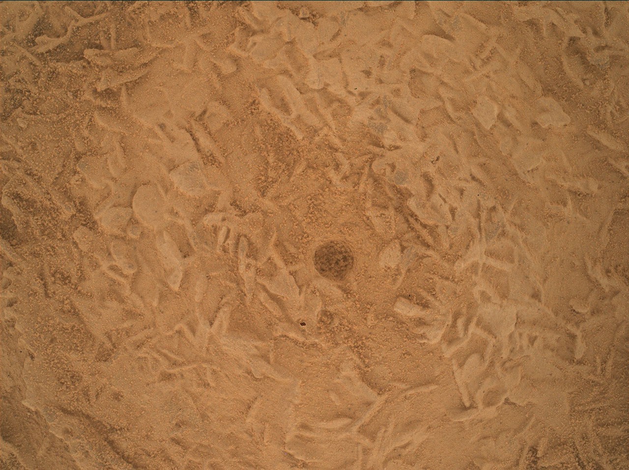
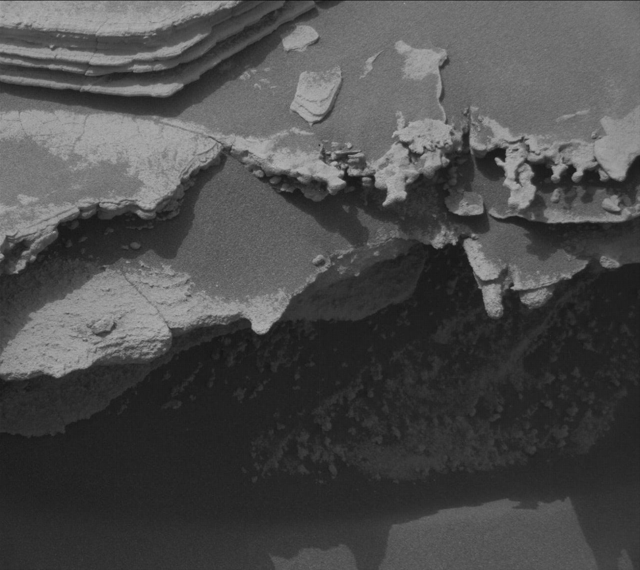
Sol 5013 MAHLI image (using the microscopic imager at the end of Curiosity’s arm, FOV ~20 cm across).

For wider context:

Fortunately, those small linear flakes in the colour MAHLI image are not sandworm larvae or anything so disgusting. I haven’t the faintest idea about the detailed geologic process represented here, alas. All I know is that this portion of the mountain features a lot of beauty granted us by erosion:

Sol 5013 MAHLI image (using the microscopic imager at the end of Curiosity’s arm, FOV ~20 cm across).

For wider context:

Fortunately, those small linear flakes in the colour MAHLI image are not sandworm larvae or anything so disgusting. I haven’t the faintest idea about the detailed geologic process represented here, alas. All I know is that this portion of the mountain features a lot of beauty granted us by erosion:

0

Curiosity has climbed 999.15m up Mount Sharp, the next drive should reach over one kilometer

preview

Here’s its new workspace after the drive. This is a mosaic of 15 overlapping mast camera images that were deBayered prior to assembly.

Here’s its new workspace after the drive. This is a mosaic of 15 overlapping mast camera images that were deBayered prior to assembly.

0

Meteorite - Or Meteor-wrong? Sol 4947

preview

Assembled from 12 overlapping Right-side MastCam deBayered images. Could it be a meteorite, or is it just a dark rock out of place. The rover has instruments that can quickly tell us if it’s rich in iron-nickel, or a basaltic rock.

Assembled from 12 overlapping Right-side MastCam deBayered images. Could it be a meteorite, or is it just a dark rock out of place. The rover has instruments that can quickly tell us if it’s rich in iron-nickel, or a basaltic rock.

0

Odd rocks of Gale crater

preview

An interesting float rock adjacent to the rover’s front right-wheel after a drive on sol 4946. Details of the drive and additional images will be added in the comments of this post

An interesting float rock adjacent to the rover’s front right-wheel after a drive on sol 4946. Details of the drive and additional images will be added in the comments of this post

0

A drive on July 2 (sol 4942) EDIT - details added to comments

preview

Waiting for the drive details and official map, but the distance appears to be about 10 meters (as the Martian crow flies) and due south.

The image is a post-drive front HazCam looking at the new robotic arm workspace, and the next ridge line.

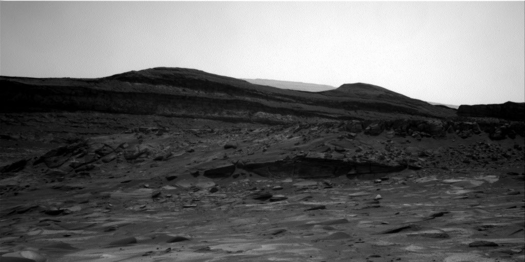
The next major science waypoint can be seen in the upper left of this image on the horizon. It’s called the Yardang Unit, but there will be a ton of stuff to see on the way over the next couple of years :)

Waiting for the drive details and official map, but the distance appears to be about 10 meters (as the Martian crow flies) and due south.

The image is a post-drive front HazCam looking at the new robotic arm workspace, and the next ridge line.

The next major science waypoint can be seen in the upper left of this image on the horizon. It’s called the Yardang Unit, but there will be a ton of stuff to see on the way over the next couple of years :)

0

Curiosity enters land of honeycombs

play · youtube.com
YouTube Curiosity enters land of honeycombs youtu.be
preview

Episode 273 The Curiosity rover has previously encountered rocks with bizarre honeycomb textures, including ones in distant layers and others closer up in a jumbled mess. Now it’s arrived on an unusually flat expanse of honeycombs that looks notably similar to a playa on Earth.

Episode 273 The Curiosity rover has previously encountered rocks with bizarre honeycomb textures, including ones in distant layers and others closer up in a jumbled mess. Now it’s arrived on an unusually flat expanse of honeycombs that looks notably similar to a playa on Earth.

0

Panorama after a drive on sol 4936

preview

Curiosity drive deeper across the field of small polygons

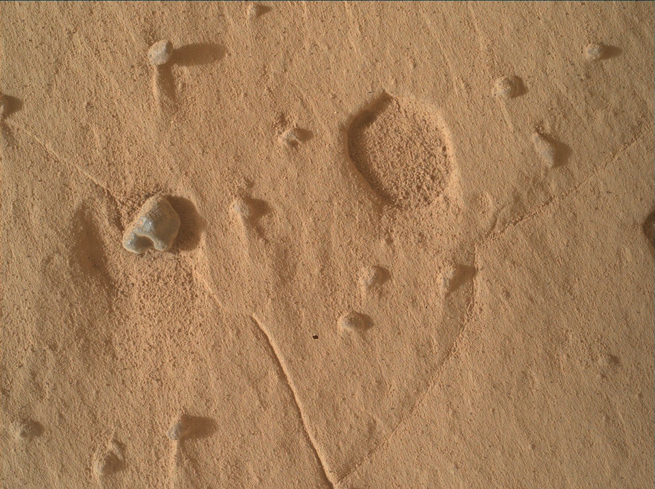
Here’s an extreme close up of a tiny section of the polygons, the image was captured by the rover’s MAHLI camera that was placed just above the surface by the robotic arm, 24 hours before the drive

Curiosity drive deeper across the field of small polygons

Here’s an extreme close up of a tiny section of the polygons, the image was captured by the rover’s MAHLI camera that was placed just above the surface by the robotic arm, 24 hours before the drive